
Professional Drone Mapping for Infrastructure Projects
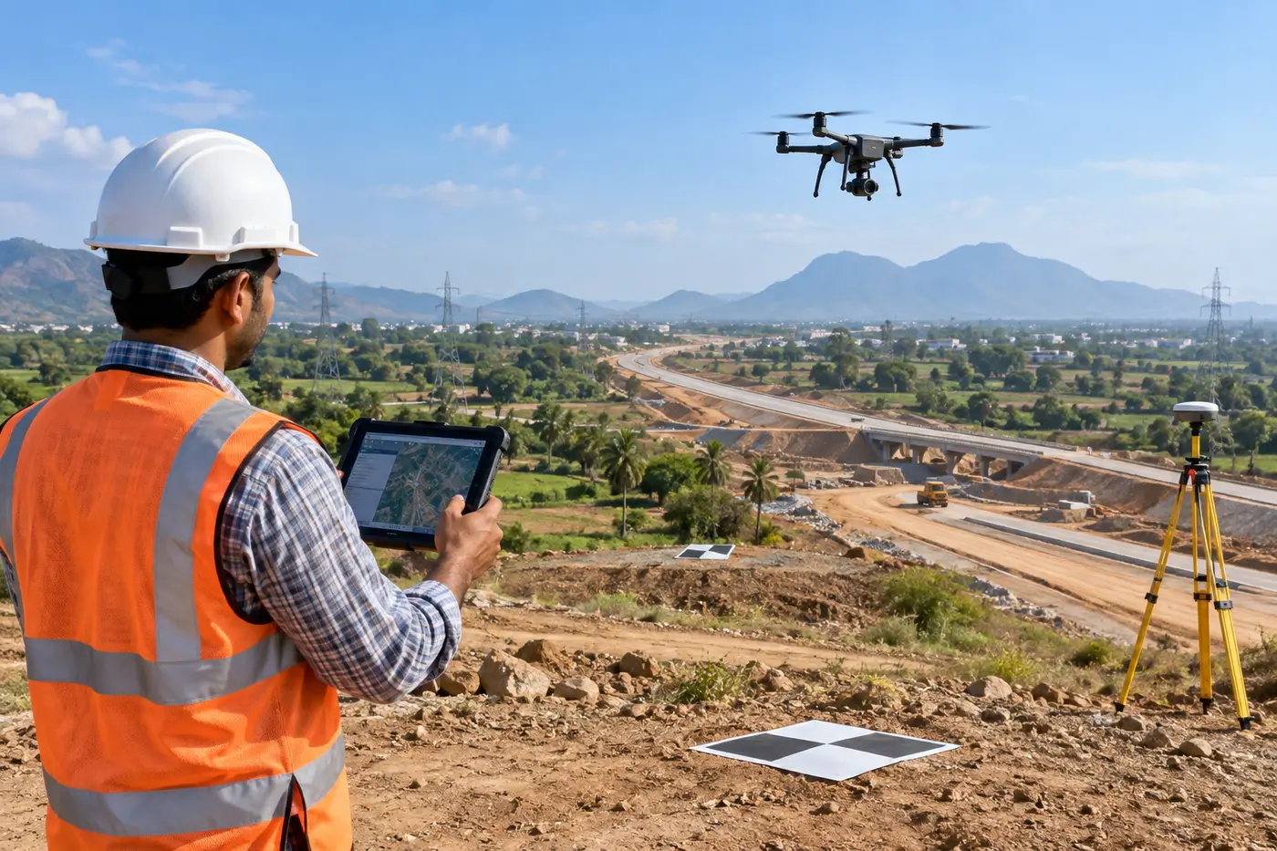
3S SKYLINE INFRA provides professional drone and UAV survey services for highways, land development, construction sites, pipelines, stockpiles and infrastructure corridors across India. We combine aerial data with DGPS/GNSS ground control to produce reliable engineering maps and measurable site information.
Drone Survey Scope
- Aerial topographical survey and site mapping
- Orthomosaic and high-resolution imagery
- Digital elevation models, contours and point clouds
- Cut-and-fill and stockpile volume calculation
- Construction progress and as-built documentation
- Route, corridor and land-development surveys
Accurate Ground Control and Deliverables
Our field team establishes suitable ground control points using DGPS/GNSS survey methods. The collected data is processed and checked before delivery in the agreed formats, including orthomosaic, CAD drawings, GIS layers, contours, surface models and volume reports.
Why Choose 3S Skyline Infra?
We support consultants, contractors, developers and infrastructure agencies with practical survey planning, modern equipment and engineering-focused outputs. Drone surveys are integrated with our topographical survey, GIS mapping and earthwork volume calculation services.
Request a Drone & UAV Survey Quotation
Call +91 93063 85689 or WhatsApp +91 93066 93408 with your project location, site area and required deliverables.