
Boundary and Demarcation Survey Services in India
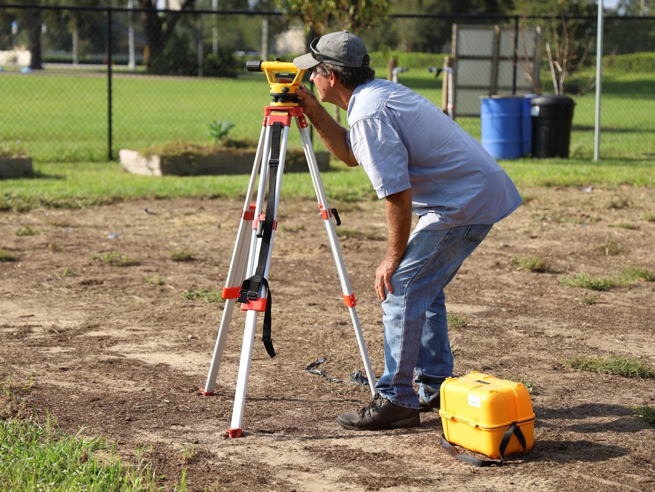
3S Skyline Infra provides accurate boundary and demarcation survey services in India for land, property and development projects. We identify, verify and mark boundary points using DGPS, GNSS, total station and engineering survey methods.
Scope of Boundary Survey
- Review of records and reference control
- Corner coordinates and boundary points
- Property demarcation and marking
- Boundary plans and coordinate schedules
- DGPS and total station observations
We check field observations, process the data and supply clear plans, coordinates and marked points in the required format. Explore our topographical survey and complete survey services. Call +91 93063 85689 for a quotation.